Life is what you make of it. Be happy, love a lot and have ADVENTURES!
Saturday, May 30, 2009
Fifty-three miles and a new GPS capability
True to form I did not get out of bed at 5:40AM or whatever time for which I had my alarm set. I did manage to get out of bed around 6:00AM and was ready to head out on my bike ride by 6:30AM. Of course when I get up in the morning the whole house wakes up. Zack, Bay and Lex immediately bound up wide awake as soon as they hear me stirring. So everyone and everypuppy was up and about by 6:05AM.
I took care of feeding the puppies and got Zack situation for what he was supposed to do while I was biking. He didn't want breakfast when he got up so I let that slide and let Nancy take care of that a little while later.
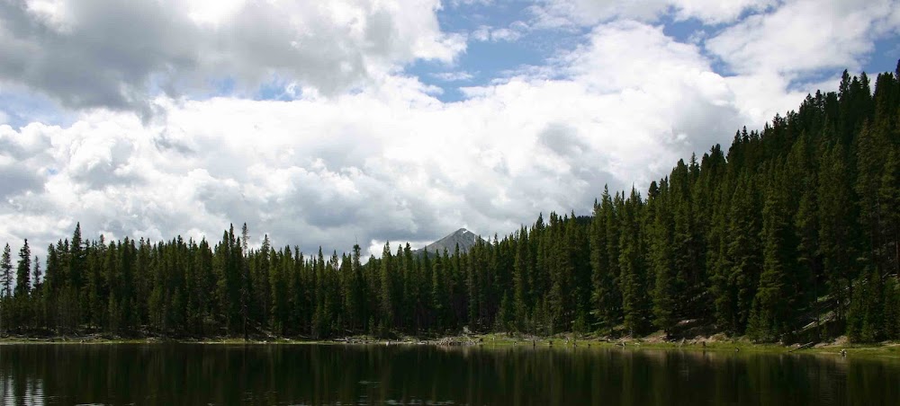
I was out the door and messing around with my bike by 6:30AM and I actually hit the road around 6:40AM. My goal with today's ride was to do 3/4 of a circle around Denver. I started by hooking up with the C470 trail right near Park Meadows. From there I proceeded to ride to Chatfield and for fun and giggles I did a hill climb to get me on top of the Chatfield Dam. I am trying to do as much hill climbing as is humanly possible to get ready for Death Ride 2009. From there I headed back down to the Platte River Valley and hooked up with the South Platte Bike Trail. This part of the ride was fabulous as the South Platte is in full spring run off mode and is running really high. It was really enjoyable to ride along and look at the river running fast and furious. In several places the trail was detoured because some of the underpasses where under water. (That is a notorious problem with both the South Plattle and Cherry Creek Bike Trails in Denver - when the water is running high they are flooded.)
When I reached downtown Denver I took a side trip onto the Lakewood Gulch trail for several miles. This trail has an infamous past as it was where a little boy and his Mom were swept into the raging creek during a flash flood. The Mom survived but the little 3 or 4 year old boy died. Today there is still a massive memorial to him along side this trail. (This horrible situation happened 2 or 3 summers ago.)
I retraced my route along the Lakewood Gulch trail to come back to the South Platte trail. From there it was just a short 2 miles until I reached Confluence Park. At this point I had already ridden for 34 miles so I decided to take a short break on a bench. I drank a bunch of water, did some calculations to determine my miles per hour and just rested. I was pleasantly surprised to find that I was averaging 15.2 MPH for this first part of the ride.
The next section of the ride was grueling as it is really all up hill but at a very gradual slow incline. This section of my ride followed the Cherry Creek bike path out of Confluence Park the whole way to Cherry Creek State Park. I would go over another 17 miles reaching my final destination which was a light rail stop on the 9 Mile Line. I will be honest - there was nothing fun about this part of the ride as I was tired and since I had eaten nothing so far for the entire day my blood sugar was surely through the floor - and I could feel it! I burnt off almost 3000 calories during this ride so you can imagine how I was feeling from a blood sugar standpoint not having eaten anything all day.
After the drudgery of this part of the ride it was shear bliss to reach the stop on the 9 Mile light rail line. A train came relatively quickly. I caught that train and went to the Southmoor station where I could pick up the E Line to get me home. Once I exited the train at Dry Creek I had another 1.7 miles to ride to get home. Those were the longest 1.7 miles of my day! It felt good to get that many miles under my belt today. Between riding my bike and using the eliptical trainer at the gym, I am really going to continue my insane workout program as I really want to do well during Death Ride 2009.
The rest of the day was spent doing stuff around here and then going out to dinner with some friends this evening. Nothing too notable but a good rest of the day nonetheless.
One a totally different note, I did manage to buy my Eye-Fi card for my digital camera today. It is so utterly cool! First of all it records the GPS coordinates of where the picture was taken. This works great with my new Mac in the fact that the picture application has a "mapping capabilities" that reads the geographic location of where the picture was taken. Being a GPS wonk as I am this... this is one of the coolest things possible.
The other great thing about the Eye-Fi card is I will never have to take the SD card out of my camera again. It uses my WiFi network here in my house to upload all of my photos to my home network. That is so cool! It will make my job of organizing and managing my photos so much easier!
Well - I am exhausted this evening. I am going to bed. A hard bike ride and long day takes a lot out of you! I hope everyone is having a great weekend.
Thanks and peace to all! - J.
Subscribe to:
Post Comments (Atom)
1 comment:
sounds like we are in the same part of town. Hill climbing can be started in a couple of good places.
Lincoln(University) and Quebec - there is the USPS on the corner on the SW Corner. Anyway, head up South and climb to the top.
Broadway and Highland Ranch Prkwy -head up south til broadway ends then take wildcat reserve parkway til you loop around.
Basically, starting anywhere just south of C-470 and biking south will give you a good work out on hill climb. Especially great in the early mornings-hardly any traffic.
These are better than that chatfield Dam climb.
take care biking
Post a Comment